Google Maps shows the location of ongoing wildfires and its movement over time. If you live in an area prone to fires, you can use this feature to track the progress of any dangers that might be heading your way. Here's how the feature works.
The ability to view ongoing wildfires in Google Maps became available to users across the U.S. in August 2020. The data is provided by the National Oceanic and Atmospheric Administration's GOES satellites and processed by Google. This feature can be incredibly useful if there's a fire near you.
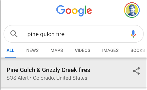
The easiest way to find out more about nearby wildfires is by Googling it. To do so, open the "Google" app on your iPhone, iPad, or Android device and search for an ongoing wildfire by name.
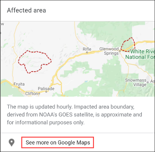
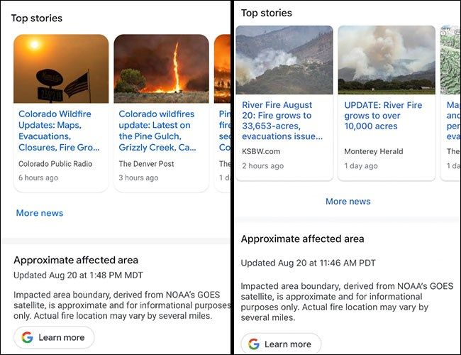
You see news stories and other information about the wildfire. Scroll down to the "Affected Area" card with a map preview. Tap "See More on Google Maps."
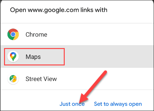
If you're using an Android device, you may be asked which app you'd like to open the link with. Select "Maps" and tap "Just Once."
Alternatively, you can jump straight into the Google Maps app on your iPhone, iPad, or Android device. Once open, you can search for a specific fire or a town that has a nearby wildfire.
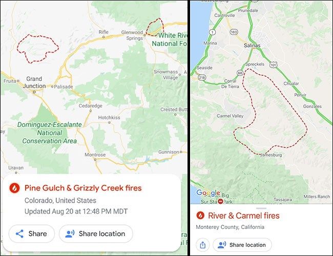
Google Maps will now open to show highlighted wildfire areas. The wildfires are outlined in red dashed lines. The movement of the wildfires is updated about once every hour. The last update time is shown on the info card. If you happen to be near the fire and want to let someone know where you are, there's a button to share your location.
Tap the information card to see news stories and get more information about the wildfire.

